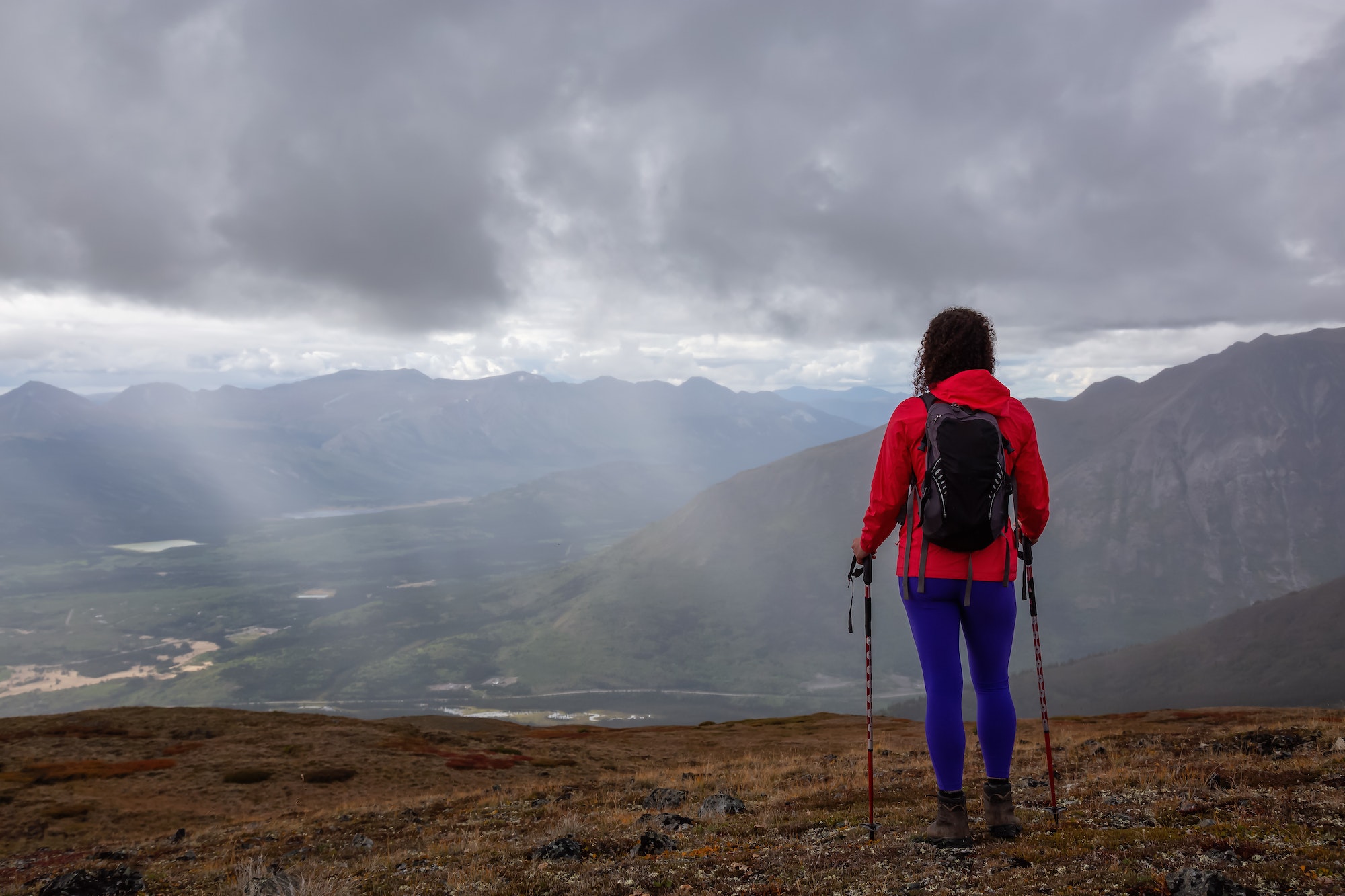
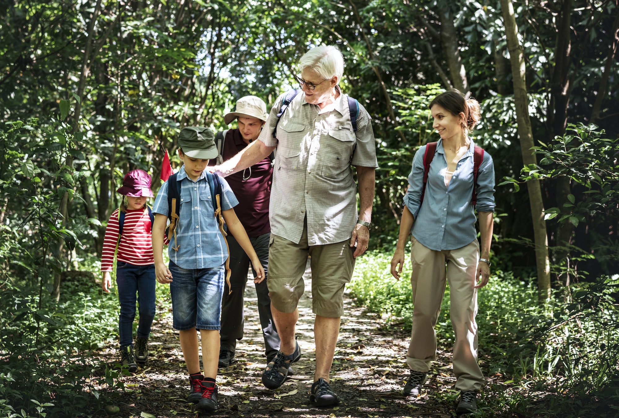
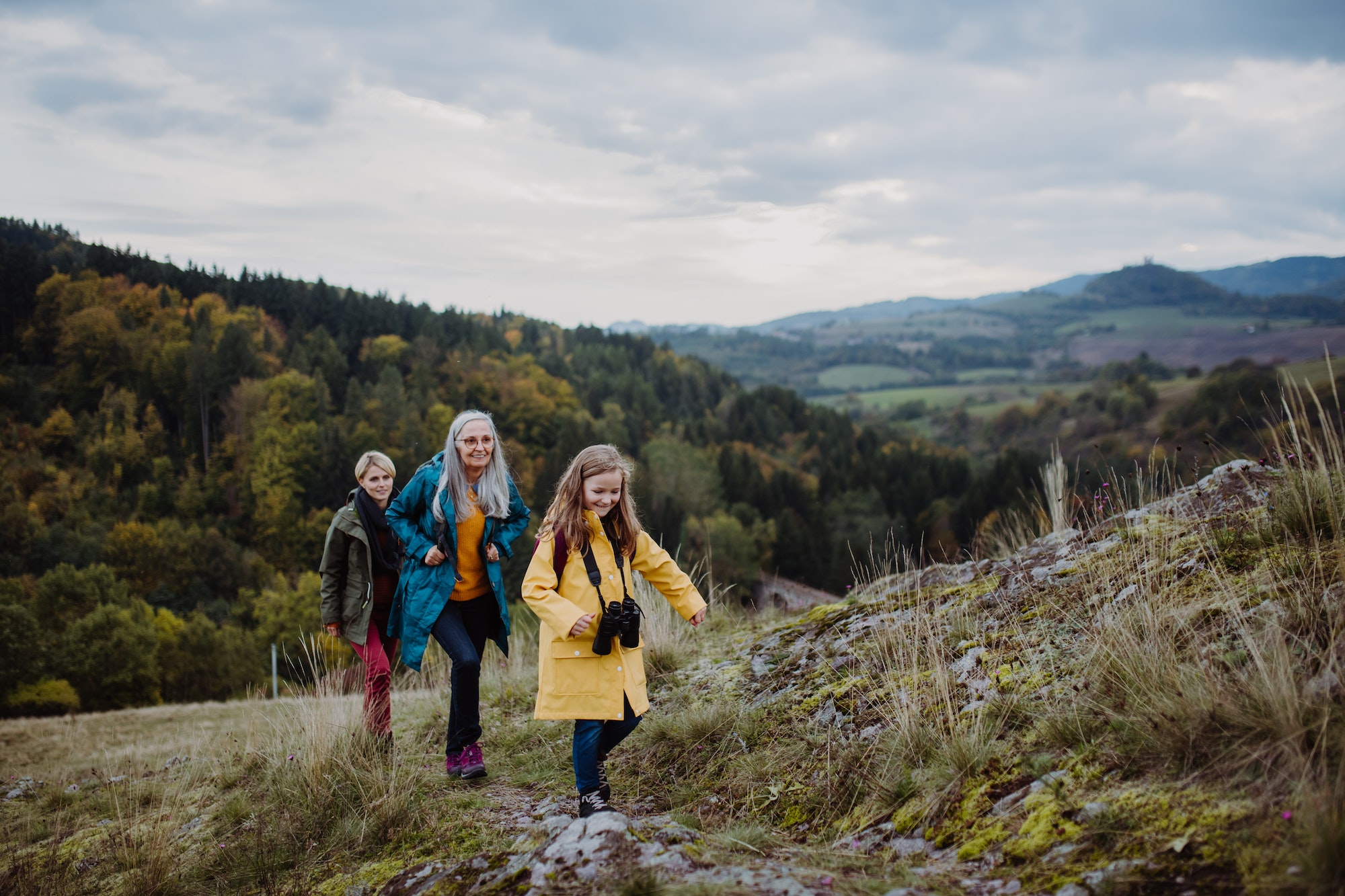
The Midlands features many kilometres of walking trails for people of all capabilities. From stunning mountain walks in the Slieve Blooms to Bog Walks and our beautiful Greenways and Blueways. Discover a selection of our many tracks and trails.
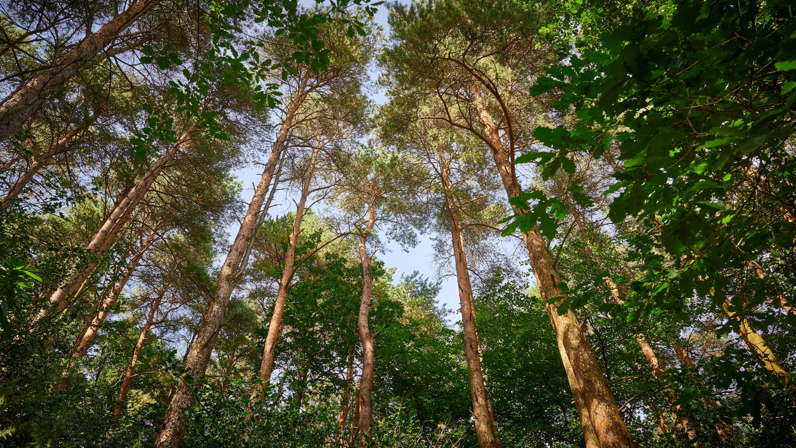
The Slieve Bloom Way is a 75km trail that loops around the majestic Slieve Mountains in Counties Laois and Offaly. The full circuit takes about three to four days to complete and crosses forest tracks, open moorland, old roadways and deep glens, rising to 460m at Glendine Gap.
You can access the trail via six trailheads at Glenbarrow, Monicknew, Kinnitty, Cadamstown, Capard and Clonaslee. You can also choose one of the shorter, more manageable walks. There are 17 signposted looped hikes to choose from, ranging from 4km to 16km, which start and end at one of the trailheads.
You’ll find a few places to stay overnight along the route, especially in some of the towns and villages at the foot of the mountains. You can stay at Ardmore Country House, a charming guesthouse in Kinnitty, or in one of the 10 rooms at Roundwood House, a Georgian country residence in Mountrath, an eight-minute drive from Glen Monicknew.
Try this 25.3-km point-to-point trail near Ballymahon, County Longford. Generally considered an easy route, it takes an average of 5 h 57 min to complete. This trail is great for hiking, road biking, and walking, and it’s unlikely you’ll encounter many other people while exploring.
Newcastle Woodland Trail is located in Newcastle, Ballymahon, Co.Longford. This forest is a Coillte owned semi-mature mixed woodland of 325 hectares that extends to both sides of the River Inny, a main tributary of the River Shannon.
There are 28 kilometres of forest roads, trails and walkways ranging in length from the 400 meter Access for All Walk to the 5km Church Walk. There is also a surfaced walk down along the River Inny and a 1 kilometre wheelchair accessible pathway though the wood, along with picnic and car parking areas. New walking trails are also surrounding the perimeter of Center Parcs and down to the Royal Canal.
Take a leisurely stroll along the meandering paths through planted parklands and a wetland nature reserve, which is home to an abundance native wildlife. Directly accessible from the Old Rail Trail Greenway, this park also includes a great children’s playground, adult exercise equipment and outdoor art displays.
Take a walk through the heart of Ireland on the Westmeath Way, a 33km-long walking route from Kilbeggan to Mullingar. This waymarked way meanders through tranquil riverside meadows, with views of Lough Ennell and the River Brosna.
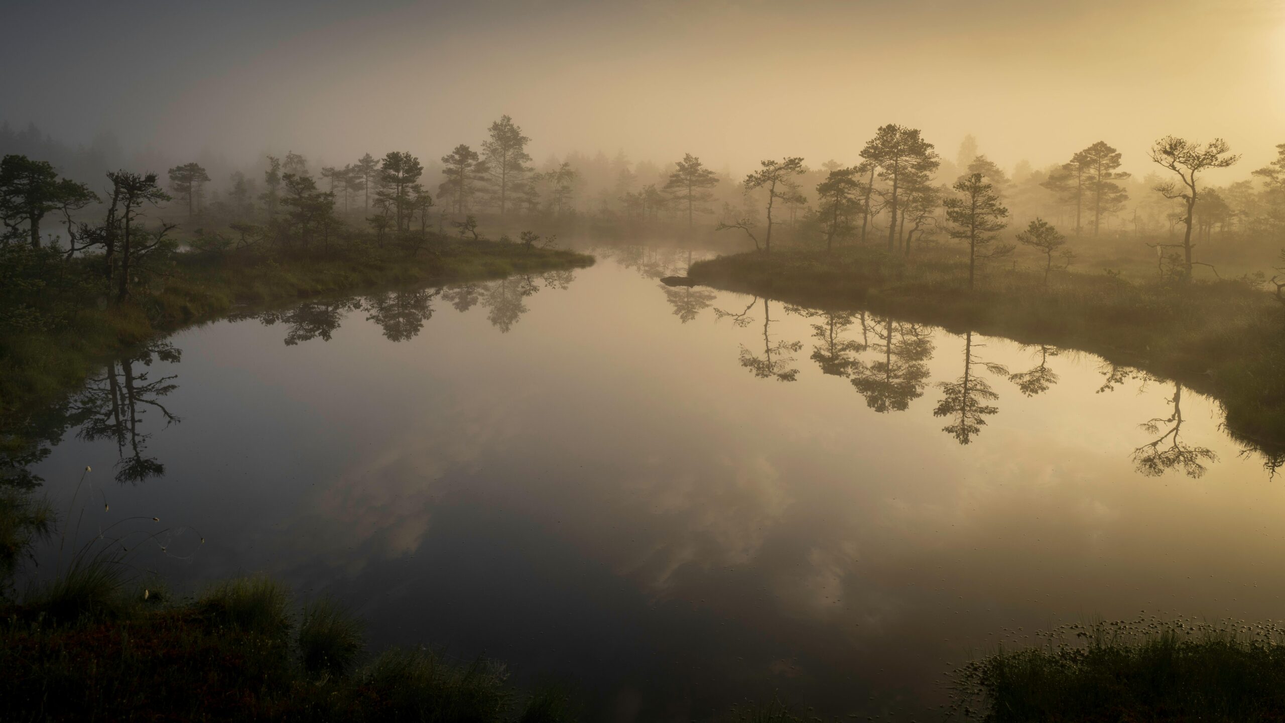
Rising from the stunning Bog of Allen, Croghan Hill consists of the remains of a 234m-high extinct volcano, topped by an ancient pre-Christian burial mound.
The area has strong monastic associations and notably, is the site of the discovery of Old Croghan Man, a remarkably preserved bog body dating from the early Iron Age.
Although the site is in an isolated location, parking is available in the nearby village of Croghan. Alternatively, there are a number of safe spots to pull in along the roadside.
If approaching from the east (the most popular choice), the route will lead you past the Old Croghan Cemetery, a perfect spot to stop, explore, and take a quick break! A few minutes from here, you will reach the summit and be rewarded with uninterrupted panoramic views of several of Offaly’s neighbouring counties.
This climb is one of Offaly’s lesser-known excursions and is suitable for all levels of fitness, taking approximately 20 minutes from base to summit.
Next on our list of the best hikes and walks in County Offaly is the Lough Boora Discovery Park. Located between Tullamore, Birr, and Clonmacnoise, this park is one of Offaly’s most beautiful locations.
The park offers trails ranging from short strolls to lengthy jaunts and can be enjoyed by all age groups and fitness levels—a perfect outing for the whole family! All routes start and end at the Visitor Centre, offering a range of facilities including toilets, a picnic area, and a café.
Lough Boora has plenty to appreciate, and if you’re looking for something a little bit different, the Sculpture Park Route is spectacular. This 3.3km circuit is perfect for a leisurely stroll and features a stunning collection of innovative land and environmental sculptures
If you have a limited timeframe but want to see as much of Offaly as possible, this hike is for the bucket list.
The Offaly Way is a linear walking route of approximately 37km and is typically completed over two days. This terrain is generally flat, and the hike is of easy to moderate difficulty, offering stunning views of the midlands.
Starting in the quaint village of Cadamstown and ending near the early Christian monastic site of Lemanaghan, the trail follows an old mass path along the Silver River, crossing Boora Bog, Turraun Nature Reserve, and the Grand Canal.
Along this route, walkers can access a number of sites of interest, including Turraun Wildlife Park, the Boora Mesolithic Site, Kilcormac 16th Century Pieta, and St. Managhan’s Shrine, to name only a few. This is a perfect opportunity to get a real taste of Offaly!
Topping our list of the best hikes and walks in County Offaly, the Slieve Bloom Way is the ultimate way to experience the county if you are looking for a challenge that is off the beaten track.
At 75km, this circular walking trail is usually completed over three to four days. The trek consists of mixed terrain and can be quite strenuous at parts, but believe us—it’s worth it!
Detailed route maps are available to download online, and the route is best accessed at one of the five key trailheads, which provide information and car parking.
This long-distance trek encompasses the Slieve Bloom Mountains Environment Park, an area of outstanding (and jaw-dropping) environmental beauty.
Featuring picturesque wooded glens, rocky outcrops, waterfalls, heathery ridges, and lofty summits, the Slieve Bloom Way is the way to go if you want to experience the core of Ireland’s hidden heartlands.
Nothing says a fresh Sunday like a good old bog walk and Abbeyleix has a good one.
This 8km trail takes approximately 2 hours to get around and there is plenty to see on the way and according to a piece done in the Irish Times, it is a “place of many riches”.
There’s a coffee cart there too!
This one is a bit tougher but very popular! The Leafy Loop Walk is set in Dunmore Woods and is a total of 22km! It is recommended to allow yourself five and a half to six hours to complete it.
So, you might want a sturdy pair of boots and comfortable clothes if you’re going to take this one on!
Another beautiful area. There are many trails to choose from here. Bocadh Lodge Loop (7km), Monicknew Valley Loop (3.5km), Riverside Loop (1.5km) and the Slieve Bloom Way (5km).
It is located in the Monicknew woodlands which form the boundary between Laois and Offaly and has plenty to offer the eye on the way around.
At the source of the River Barrow, this is one of the most scenic parts of the Slieve Bloom area with its waterfalls and steep valley.
The area has four way-marked marked trails. The trails all start at the car park and all follow the river for the first section.
They are The Flat Rock loop (3km), The Waterfall loop (7km), The Old Mill loop (12km) and The Eco walk (10km). So, you’ve plenty to choose from.
There are a number of walking routes at the Ridge of Capard, the shortest being the blue 4km route which is mostly along the boardwalk.
The Stony Man – a stone cairn which was built when quarrying was carried out in the area – is located approx 2km from the Capard trailhed but it is not on a specific waymarked looped route. It can be reached by heading up the boardwalk and following the Slieve Bloom Way which is shown by the yellow walking man symbol. There is no looped option which means that the return leg is back along the same route.
A bonus of the Ridge is that the finest viewing point is only a very short 300-metre walk on the boardwalk from the car park, making it possible for an older person to experience the views without having to go too far.